The following features represent just a fraction of AIM's capabilities

Rust detection as part of AIM 3D's automated maintance systems.

Precise ICNIRP
projection

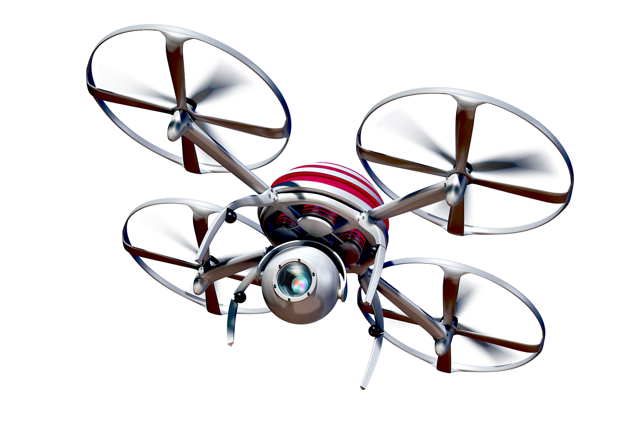
AI recognition of on site Assets

Structural Design

The AIM modeling and design system encompasses maintenance reporting, offering various features including the ability to automatically detect rust, missing bolts, and tower anomalies like bird's nests and kites. When combined with our asset tagging tool, this functionality enables users to generate an asset catalog linked with a maintenance schedule. Finally, it is possible to save links to test certificates and associate them with the corresponding asset by utilising tagging.
learn more
The AIM Modeling and Design system uses a direct calculation model to obtain a precise ICNIRP projection that considers the actual antenna patterns, technology, and power on each port. By utilising a reality model, our ICNIRP calculations can achieve an unmatched level of real-world accuracy. The projections generated can be visualised in a 3D BIM environment and exported to a 2D DWG format.
learn more
The AIM Design System leverages AI recognition to identify individual assets within a drone capture, thereby enabling the automated collection of site asset records. This feature facilitates the addition or removal of assets from the site, eliminating the need to recapture the entire site after a change has been made.
learn more
The AIM design tools enable you to incorporate or eliminate elements within a photogrammetry model. You have the flexibility to commence with an greenfield capture, progressing towards a complete design while capitalising on our structural design tools to expedite the workflow. Additionally, you can conveniently export the final design to a 2D or 3D model compatible with your CAD or BIM applications, ensuring seamless integration.
learn more